Explore
Hone stone
Hone stone, broken, rectangular cross section, tapers to a blunt point, some pitting on point
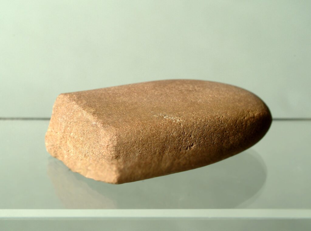
Hone stone, broken at one end, rectangular in shape and profile, tapering to a blunt tip where there is some pitting
This item was found by chance along with 13 others by archaeologist Shane Delaney while walking in the Doolin area during the summer of 2000. All the items were surface finds and were found on disturbed ground. The disturbance was due to the removal of field walls and the subsequent mounding of the wall rubble into mounds.
The field system pattern in the area has been significantly altered since the turn of the century as evidence from the SMR map for the area (Sheet 8 and 8a). The field walls that have been removed are not marked on the revised 6 inch O.S. maps from 1913-1918, so they must be later. The access road to the area is also a twentieth century structure, as it is not feature on the SMR.
The area where the artefacts were found is marked as an archaeological complex (SMR CL008-057). This encompasses a number of enclosures and a cashel and possible ancient field systems. The soil of the area is formed on limestone bedrock and is characterised best by the karst landscape of the Burren.
The topsoil depth is very shallow and the protruding limestone bedrock is a major feature of the topography. The depth of disturbed topsoil is no more than a couple of centimetres in general. This honestone was found with a hammerstone (2003.18) and elongated regular pebble (2003.19) in the scar left by the removal of a field wall (see map, Object History File).
Collection: National Monuments (Amendment) Act, 1994
Category: Tool/Implement